


.webp)
Utilization and Dispersal Rate on Rangelands
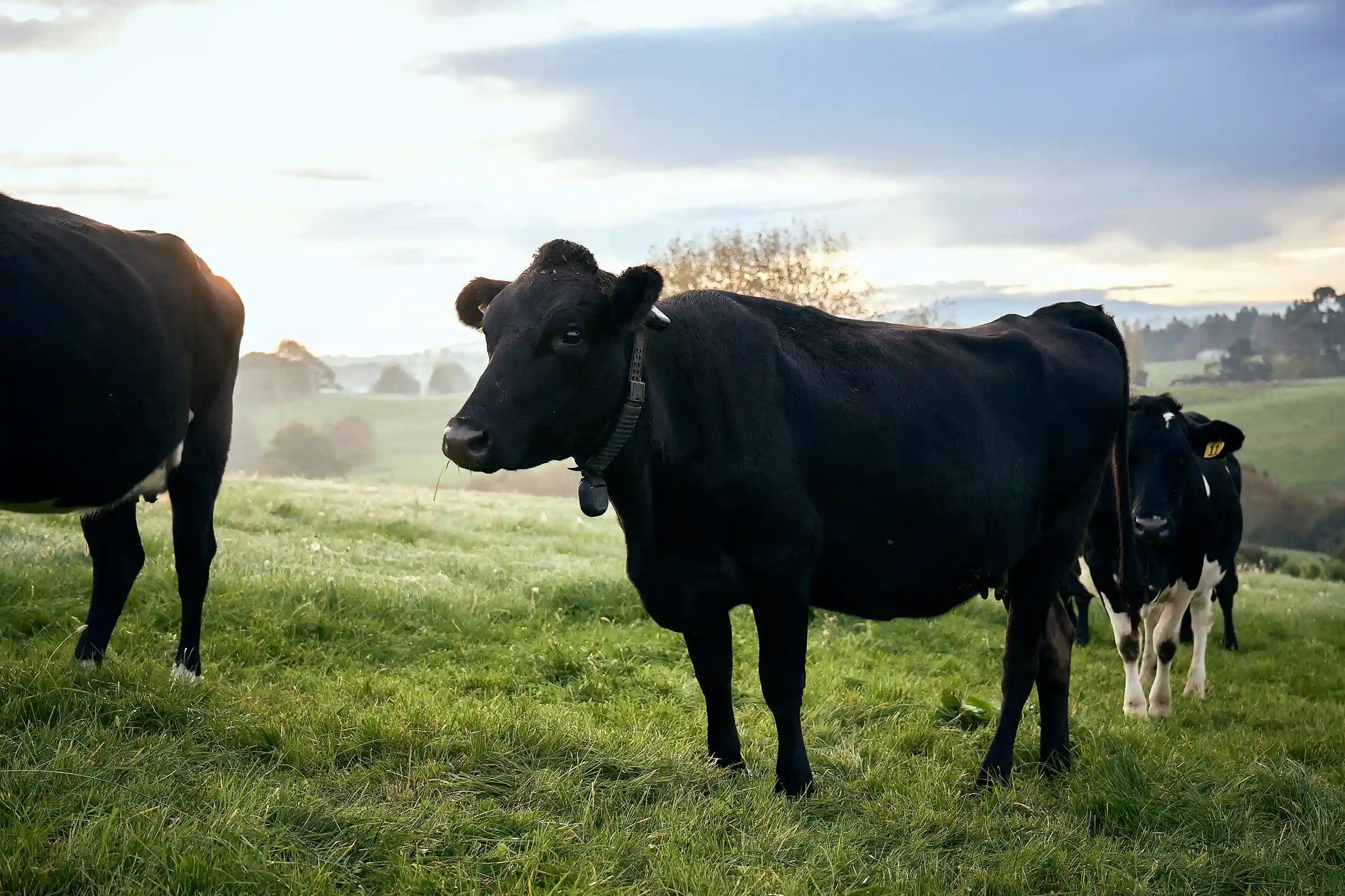
On the Santa Rita Experimental Range - one of the oldest continuously operating rangeland research sites in the United States - University of Arizona researchers are partnering with local ranchers to understand how cattle move and graze across arid landscapes. Using Halter collar data including GPS location and grazing behavior metrics, the team is studying how herds distribute across heterogeneous rangeland, including Forest Service allotments.
.webp)
Real-time data sits alongside vegetation monitoring to ensure appropriate forage utilization and to keep cattle clear of sensitive riparian zones. The research is designed to support ranchers making grazing and movement decisions in landscapes with limited forage and water - where getting distribution right matters.
Beyond the research itself, the U of A team is running workshops and working directly with producers to help them understand virtual fencing and how it fits into their operations.
"This project is about bringing precision livestock management to the realities of arid rangelands. By combining Halter's real-time collar data with on-the-ground vegetation monitoring, we are learning how cattle actually use these complex landscapes and how virtual fencing can help us better match grazing distribution to available forage while protecting sensitive areas like riparian zones.
What is especially exciting is that the work goes beyond research. Through workshops and direct collaboration with ranchers, we are helping producers understand not just how the technology works, but how it can fit into their own operations. So far, we are seeing strong engagement from the ranching community and promising results in both improving cattle distribution and increasing confidence in virtual fencing as a practical management tool for the Southwest."


